
Burleson Neighbors: Block Records
The useful question is usually about the parcels immediately around an address, not a complete personal list for a block. Burleson GIS provides the geographic starting point. County appraisal records can identify the owner field, legal description, and mailing field attached to each selected parcel. A recorded plat then explains lot and block relationships. Each source answers a different question, and none is proof of a current private household.
| Block source | What it can show | Access boundary |
|---|---|---|
| Burleson GIS parcel and address layers | Parcel geometry, address, subdivision, street centerline, and boundary overlays | Public map service; select a parcel before treating a result as address-specific |
| Johnson CAD or Tarrant Appraisal District | Owner, mailing, legal, value, and property-account fields | County portals; an owner is not automatically an occupant |
| County official records and plats | Lot or block description, easements, restrictions, and prior instrument parties | Index, clerk terminal, or clerk access; inspect the instrument for proof |
| City permits and code records | Address-linked work, applicant, owner, contractor, and inspection roles | eTRAKiT, archive, or a focused records request; no household conclusion |
| Association certificate search | Filed association names and certificate information | State search only, not a complete city association directory |
Keep owner, mailing, situs, and occupant as separate labels. The first three may appear in property records. The fourth cannot be inferred from those fields, a search result, or a nearby parcel boundary. That distinction keeps a Burleson block search useful without turning it into a private-person roster.
Locate Burleson Neighbors by County
Burleson spans Johnson and Tarrant Counties, so the city name and a ZIP label do not choose a property custodian. Turn on the City GIS County Boundary, City Limit, ZIP, ETJ, and annexation layers with the address and parcel layers. Write down the county returned for the subject parcel before opening a county property record or an official-record index.
County, city limit, ZIP, and subdivision are separate fields with separate purposes. An uncertain edge address can require both county systems, especially where a historic plat or changing city boundary is involved. A current mailing city is not evidence that a past instrument was recorded in the same county. Preserve the county shown on the parcel, plat, or instrument rather than replacing it with a convenient label.
On the Johnson side, the County Clerk's Burleson Sub-Courthouse offers a local access point, but it does not contain Tarrant County's index. Tarrant-side property, plats, liens, and deeds remain under Tarrant custodianship. Begin with the geographic layer, then use the correct county CAD, tax, or clerk route for the record type at hand.
Map a Burleson Block by Parcel
The adjacent-parcel method starts with geometry and moves outward one record at a time. The researched GIS layer inventory includes Address, Parcel, Subdivision, Street Centerline, City Limit, ZIP, County Boundary, ETJ, Annexation, Structure, and Railroad layers. Exact click-adjacent, buffer, and measurement labels were not captured, so use the visible parcel geometry and selected-record details instead of assuming an unverified map control exists.
- Search the full address in Burleson GIS, select the subject parcel, and record its parcel or legal-description identifier.
- Turn on Address, Parcel, Subdivision, Street Centerline, County Boundary, and ZIP layers. Note nearby parcels that share a boundary or lie across the street.
- Open the matching Johnson CAD or Tarrant Appraisal District card for each selected parcel. Retain public parcel and legal fields, not an inferred household list.
- Use the subdivision name and legal description to locate a recorded plat or related instrument in the proper county official-record system.
- For a whole named street rather than the immediate block, use the Burleson street directory workflow, which follows address records along the street.
The Burleson GIS OpenData service is the source for the layer family used in that first map check.
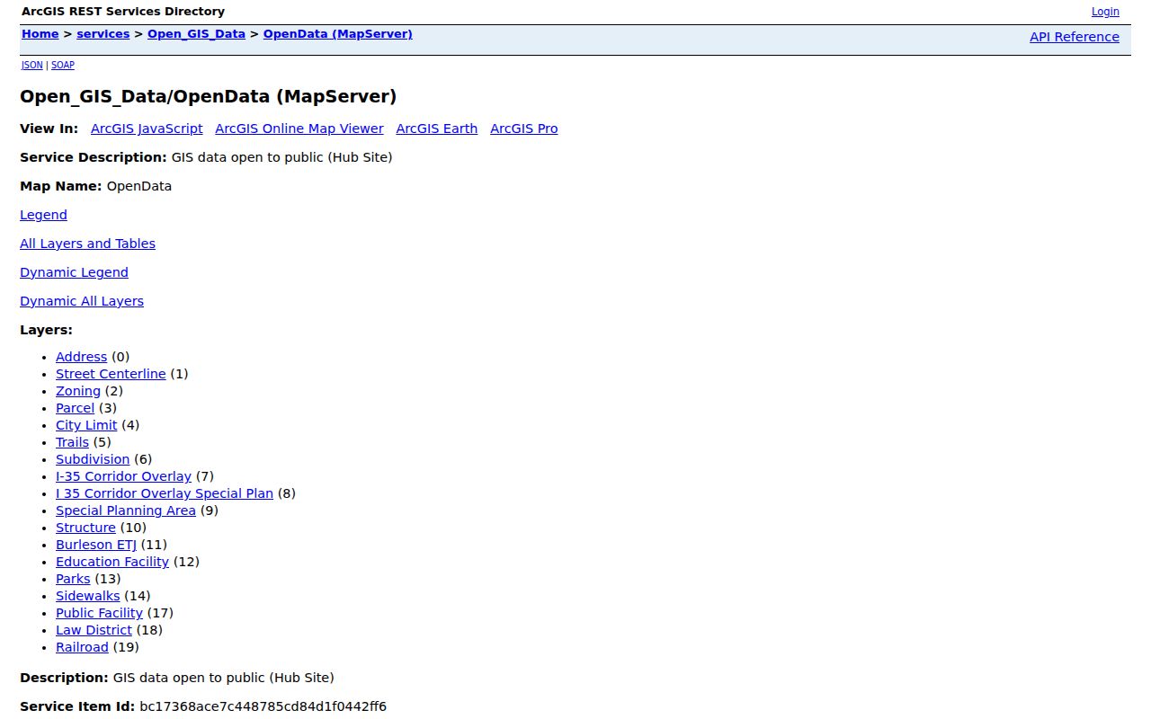
The map establishes relationships between parcels and boundaries. It does not independently prove an owner, a present occupant, or a social relationship between people on nearby lots. Confirm the next record with the appropriate county custodian.
Burleson Neighbors Through Plats
A plat is often the bridge between an adjacent parcel and its subdivision context. Official-record indexes can be searched by subdivision, document type, date, grantor, grantee, or document number. The plat or instrument image may reveal lot and block wording, easements, restrictions, or a legal description that is more stable than a street address. It still documents land and recorded roles, not who is currently at the address.
Tarrant's public map viewer offers Address, Account, and Owner tabs alongside map controls. The Tarrant County Public Map Viewer is useful when the selected Burleson parcel lies on the Tarrant side.
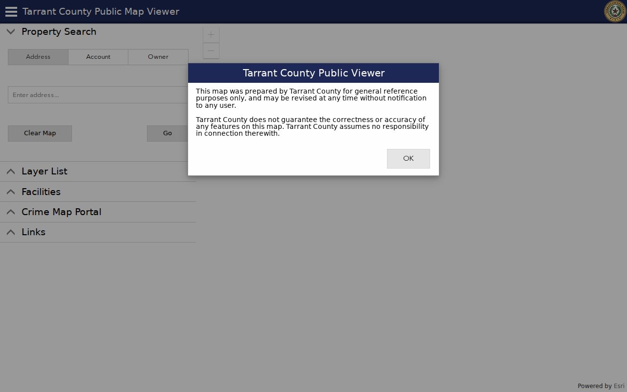
Use each tab as a way to check a parcel reference, not as a shortcut around jurisdiction. If a record has unclear county, date, or legal-description continuity, compare both county systems and the recorded instrument before joining it to the block.
Burleson Neighborhood Association Leads
No comprehensive city-maintained neighborhood-association directory was located in the official research. The state management-certificate search and the GIS subdivision layer are complementary, but neither is a complete list of active groups or members. Treat a certificate result as a filed association lead, then verify its current public contact path at the source. Do not assume a subdivision necessarily has an association or that a named association covers every parcel.
| Association lead | HOA of Plantation | Public route | Texas HOA management-certificate search |
|---|---|---|---|
| Association lead | Greenridge Estates HOA | Public route | Texas HOA management-certificate search |
| Association lead | Oak Hills HOA of Burleson | Public route | Texas HOA management-certificate search |
| Geographic check | Subdivision name and parcel geometry | Public route | Burleson GIS and the recorded plat |
The Texas HOA certificate search filtered to Burleson shows the type of state filing used for these association leads.
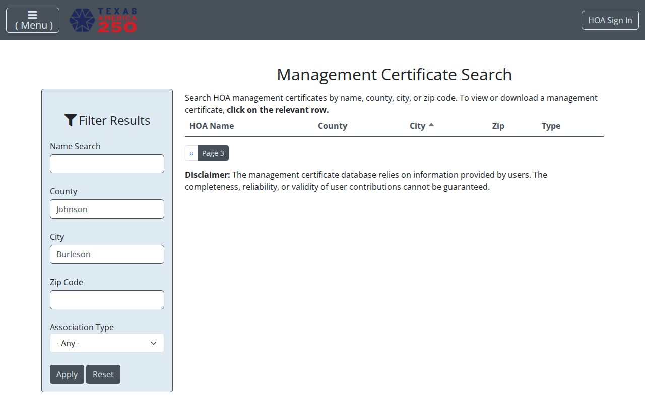
Certificate information is not a member directory. It cannot establish who belongs to an association, whether a particular person lives at a parcel, or a private phone or email contact. The correct result is an association and subdivision lead with an explicit completeness limit.
GIS helps test the geographic fit of a filed name by showing the subdivision and parcel geometry. The recorded plat supplies the more durable lot and block wording. If the association result, subdivision label, and plat do not align, leave the connection unresolved instead of assigning an address to a group by name alone.
Burleson Neighbors: Official Records Compared
Official parcel, appraisal, recorder, and city channels identify their custodian and record type. They also have visible limits: a property card can show an owner or mailing field, an official-record index can point to an instrument, and a permit can show a work-related role. Generic commercial neighbor-lookup tools may combine material from mixed dates and sources. Their output should never replace the parcel, instrument, or official map for a block question.
| Question | Official record path | Generic commercial tool category |
|---|---|---|
| Which parcels touch or surround an address? | City GIS parcel geometry, then county parcel records | May present an address result without the controlling map layers |
| What land description governs the parcel? | Recorded plat or instrument in the proper county | May omit the document image, date, or county source |
| Does a field identify a current person at the address? | Do not infer this from owner, mailing, or historic record fields | Mixed claims still need source and date verification |
For any answer that matters, retain the source, access date, county, parcel or document reference, and a narrow statement of what the record proves. A missing result can reflect an outdated index, an incomplete address, or a protected field. It is not proof of absence.
Old Town Burleson Block Patterns
Old Town's small blocks, narrow lots, and alleys reflect Burleson's railroad-era plan. The city began as a Missouri-Kansas-Texas Railroad depot around 1881 and incorporated in 1912. Northern Texas Traction connected Fort Worth and Cleburne from 1912 to 1931. That history makes a dated plat, deed description, newspaper mention, and current parcel map worth reading together, especially where a modern street view does not explain an older lot pattern.
The Burleson Chamber public directory is a separate community connector with category and ZIP searching for public business and civic roles.

The Chamber, Old Town Business Association, Heritage Foundation, and Neighbors Helping Neighbors are public community connectors, not resident databases. A public role or business listing should be described only for the date and role it actually states.
Burleson Neighbors and Privacy
Texas public access comes with deliberate limits. The Address Confidentiality Program protects eligible participants through a substitute mailing arrangement. Election Code protections cover protected residence addresses, phone numbers, driver and identification information, and ACP data. Tax Code Section 25.025 permits qualifying owners to restrict residence information in appraisal records. A concealed address can be a lawful privacy result, not a failed search.
Do not seek or republish protected addresses, personal phone numbers, full unneeded birth dates, driver data, signatures, victim information, or an inferred occupant list. Motor-vehicle information has additional limits under the Driver's Privacy Protection Act framework and Texas Transportation Code Chapter 730. A block record should remain a parcel, plat, public role, or custodian pathway, with uncertainty noted where the evidence stops.
Voter information has a similar boundary. VoteTexas is oriented to individual registration checks, while county records are subject to Election Code Sections 1.012 and 13.004. Offices and vote choices are secret, protected voter addresses may be suppressed, and a public lookup should not be used to build a block-by-block list.
Use the narrowest public field needed for the question, record the source date, and leave protected or missing fields alone. That approach respects both the record's limits and the people connected to it.
Lawful personal use. Burleson neighbors research can support property curiosity, civic context, and reconnecting through appropriate public channels. Do not use it to watch, harass, intimidate, or harm anyone.